
DH
The DH Durham Postcode Area
The DH Durham postcode area is located in the northeast of England, encompassing several towns and villages in County Durham. This area is rich in history, natural beauty, and cultural attractions, making it a popular destination for both tourists and locals alike.
The DH Durham postcode area covers an extensive area of County Durham, including towns such as Durham, Chester-le-Street, Consett, Stanley, and Bishop Auckland, as well as numerous villages and hamlets. The area has a population of around 300,000 people, making it one of the most densely populated areas in the county.
The city of Durham is perhaps the most well-known location within the DH Durham postcode area. It is home to the famous Durham Cathedral, which dates back to the 11th century and is a UNESCO World Heritage Site. The cathedral is one of the most iconic landmarks in the region and is a must-visit for anyone interested in history and architecture.
Durham is also home to Durham Castle, which is another UNESCO World Heritage Site. The castle was built in the 11th century and was used as a royal palace until the 19th century. Today, it is part of Durham University and is used as a student residence. Visitors can take guided tours of the castle and learn about its fascinating history.
Chester-le-Street is another town within the DH Durham postcode area that is worth a visit. It is home to Riverside Park, which is a beautiful green space that stretches along the River Wear. The park is a popular destination for picnics, walks, and bike rides, and it also hosts a range of events throughout the year, including a music festival and a Christmas market.
Consett is a former mining town that has undergone significant regeneration in recent years. It is now a thriving community with a range of shops, restaurants, and cafes. The town is also home to the Consett Heritage Trail, which takes visitors on a journey through the town's industrial past.
Bishop Auckland is another town within the DH Durham postcode area that is steeped in history. It is home to Auckland Castle, which was built in the 12th century and was the residence of the Bishop of Durham for more than 900 years. The castle is now open to the public, and visitors can take guided tours of the grounds and learn about the castle's fascinating history.
Overall, the DH Durham postcode area is a fantastic destination for anyone interested in history, culture, and natural beauty. With its range of attractions, including castles, cathedrals, parks, and museums, there is something for everyone in this beautiful part of the country.
DH is a postcode area located in England's North East Region.The Postcode Area covers the landscape areas of Durham Coalfield Pennine Fringe, Durham Magnesian Limestone Plateau, North Pennines and Tyne and Wear Lowlands
Neighbouring postcode areas include TS, NE, DL, DH and SR
The area borders the coastal regions of Tyne and Tees and Wear Estuaries and Coastal Waters
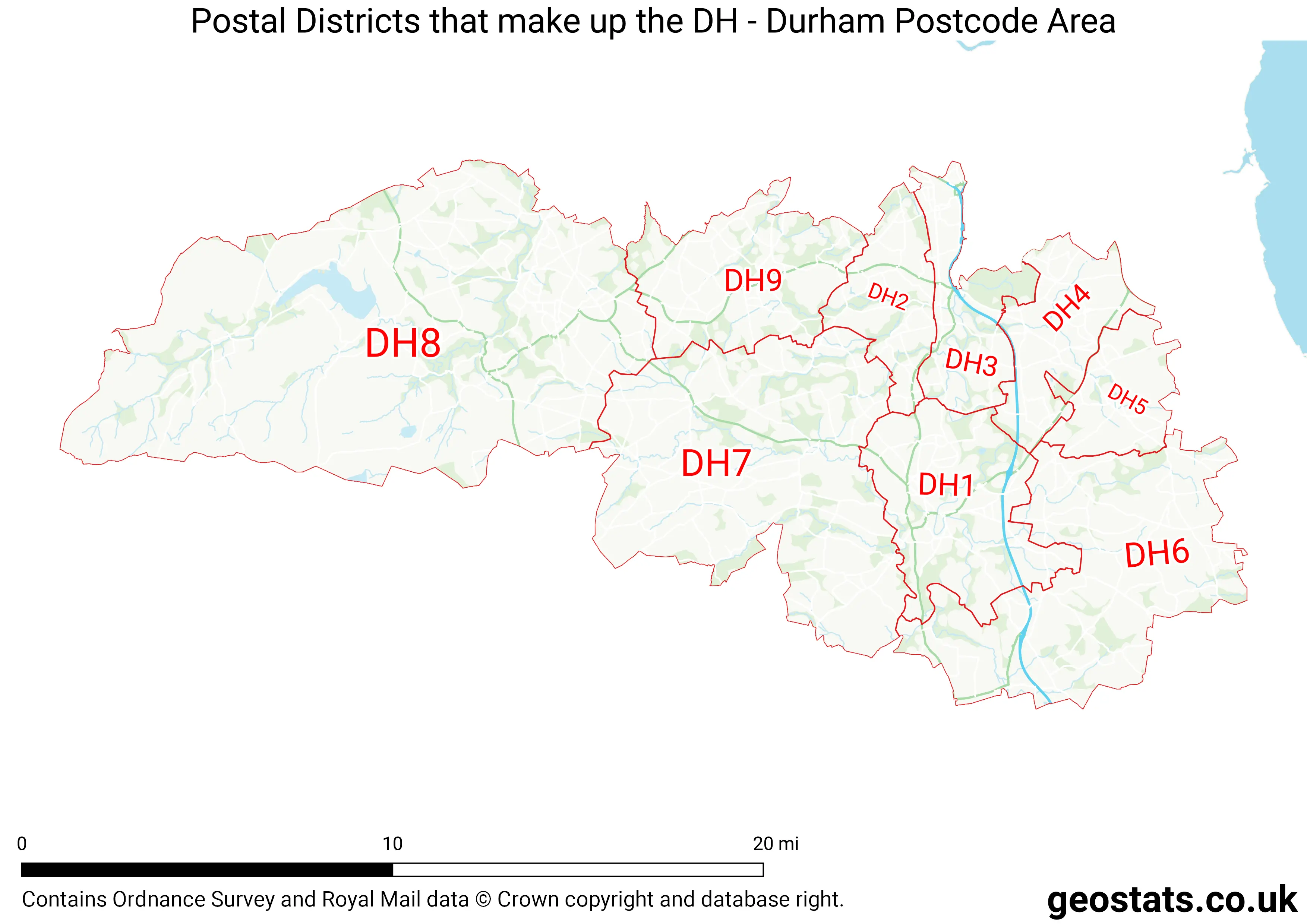
The DH Postcode Area consists of 12 postcode districts numbered from 1 to 99 and 47 postcode sectors.
This postcode area is named after the letters DH found in Durham
There are around 203,339 properties in the DH Postcode Area
The are about 9,032 postcodes in the DH area.
DH has an area of 680,265,219 metres squared, which makes it 198 times bigger than the smallest postcode area (WC West Central London) and 24 times smaller than the largest postcode area (IV Inverness) . It has a perimeter of 251,832 metres.
Map of the DH Postcode
List of Cities in the DH Area
- Durham
List of Towns in the DH Area
- Annfield Plain
- Chester-le-Street
- Consett
- Hetton-le-Hole
- Houghton-le-Spring
- Stanley
List of Post Towns for the DH Sector
- CHESTER LE STREET County Durham
- CONSETT County Durham
- DURHAM County Durham
- HOUGHTON LE SPRING County Durham
- STANLEY County Durham